09-13-13

I met Chris and Andrea on the way up and Chris jumped into my car to drive directly to the start near at Partridge Run rd. in Albany County. Andrea would do other things during the day and then pick us up at the end, eat dinner with us and camp out on the trail. As we drove, we passed a historic red brick school house that I just had to stop for and photograph. It was a picture perfect day as you can see here. We soon arrived and set out on our days trek of 13 miles. We wound through the Partridge run park, finding wild apples, cherries and grapes present and we tasted them all. We spit out the cherries and grapes since they were bitter, but the edible green apples reminded us fall is right around the corner. We came down the mountain into perfectly mowed field and a newly constructed shelter was at the long end of it. It had a makeshift privy near by, a fire ring and a field for camping. We explored it and decided it would be a good lodging for the night and we would drive back here after dinner. I was still considering an alternate location near then end of the next section, fox creek, but as it turned out later, we found that location terrible for camping due to wetness high clumped grass and no level ground. We road walked a long way, again through scenic Albany county, and we passed the time telling tall tales. The time and miles passed by very fast as this section and the previous section were both scenic at times, but relatively easy compared to the highlights of the bigger Catskills. We passed a doopler radar installation and the dome was an eye sore, but a landmark as well. Soon thereafter, without fanfare, we exited to Rt. 443 from and Andrea waiting on the side of Stage Road.
We had just walked 13 miles from 10:30 AM to 4:15 PM and I felt the best I had ever felt after a hike. We then went locally to the Hofbrau on Warners lake (in East Berne) for a hot dinner and cool music. After a good meal, we rushed out to pick up my car at the trail head and shuttle both cars to the shelter area near Gifford Hollow road (off Switzkill road). We arrived just as night was creeping in. A nearby local immediately investigated us as we were parking on the grassy shoulder (on their land) and determined we were only hikers and said it was ok. But she warned us about a bear and cub in the area. We thanked her and decided to leave all food in our cars. We hiked across a hay field and made camp in the fading light. The property owner of the shelter heard us setting up and soon arrived in his pick up truck and welcomed us to the shelter. He was very supportive of hikers and the local youth programs that use the shelter. He left us wood and tinder and we made a fire as the temperature dropped precipitously to about 45 F after the sun set and the wind gusted to 20 mph. We chatted about the day and enjoyed a drink or two before calling it quits.
09-14-13
 |
| This is Albany County! |
 |
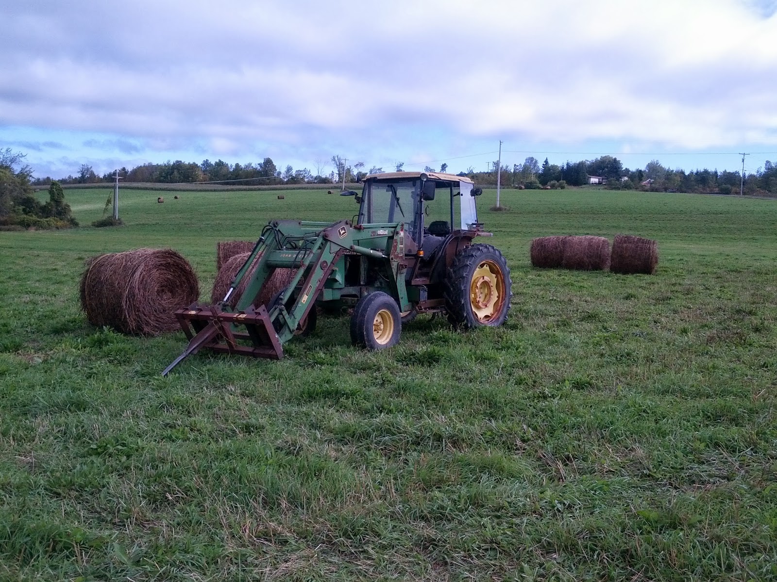
| One hayseed and many hay bales |
The morning was brisk and clear and we took our time enjoying the breakfast and coffee we had prepared. The prior walk to the car and back with supplies woke me up and warmed me up simultaneously. We then shuttled to the end of the Long Path at John Boyd Thatcher Park off Old Stage rd. I left my car and jumped in with them and we drove back to the sections beginning on Stage Rd. Andrea drove off and would later meet us near the main entrance to of the park to walk the last 4 or 5 miles with us. Chris and I hit the road (several miles on roads) and crossed a few farmers fields in the process and took some photos of the scenic farms and the seasonal hay bales.
 |
| Live Action: Red tale hawk seminar |
 |
| John Boyd Thacher Park Helderberg Escarpment View |
I recommend everyone go to this park on a clear day. The trail followed the escarpment edge and we past the southern entrance to the Indian Ladder trail that dropped down on steel ladders to the caves below. We soon made the main entrance area where the ladder trail emerged again and we picked up Andrea for the remainder of the hike.
 |
| The home stretch! |
 |
| We did it! |
Trail Stats: an easy 22 miles this weekend. About 355 on the LP in Total and another 60 on the by-pass section for over 415 miles on the LP and related trails.
 |
| Congratulatory Kiosk Note at the end |
Prolog:
If you read this long journal from the beginning, I originally called my goal a thru-hike of the LP. I simply meant I would do it end to end in a northern direction, always starting where I stopped. I really did a section hike as a thru-hike is when a hiker starts with a backpack and finishes days or months later, typically in a smelly, balls-achingly tired, and trail encrusted state. But a completed section hike doesn't make it any easier. I really had no advance clue how challenging it actually would be, how many hours, days and dollars it took to do it, how freaking much driving and shuttling it actually took to do it. Seriously, probably three thousand miles if I guessed. The Catskills were very tough, especially in winter. I triumphed and at times suffered. Afterwards, the pain faded, but the memories did not. I learned about the history of the parks and towns and attempted to share it here as best as I could.
 |
| Chris and Andrea at the terminus |
I met Chris and Andrea and their friend Jane. Time has passed since I began this thing and none of us remained the same. Some are gone now, but not forgotten. We placed a small memorial to Jane on the summit of Slide Mountain, the highest peak on the LP. Her tragic passing opened my eyes to the simple reality of doing things before it is too late. We are all mortal, but our deeds are immortal. I enjoyed the company of Andrea who drove us all over and was an absolute trooper in terms of roughing it on a few occasions in order to make things possible. I enjoyed the company of Jeff in the southern Catskills and hope he completes the LP one day. Mauro, Fred and Scott also made this possible in their own way. I thank my wife Naomi, who is not a hiker, for never complaining about the many days I disappeared and for supporting my goal. Then of course there is Chris, for without him, my finishing of the LP would probably not be possible. He is 63 (I am 50) and he still basically kicked my butt on most of our hikes together. He is also a trail volunteer whom embodies the spirit of why we all should support the trail conference.
Likewise, I also thank the many others who created and maintain the LP. I met a few on the trail, like Jakob and Andy. The Long Path is far from perfect and ever changing. The trail as a whole is awe inspiring and humbling. It is only 15% as long as the Appalachian trail, which at 355 miles became the main attraction for a weekend hiker like me. I think that is the final take home message here, I was poorly in shape at the beginning and ignorant of what it would take and still managed to finish. Since the book on the LP was out of print, it required a lot of research to complete it. The trail conference has recently upgraded the dynamic mapping of the LP on their website and the trail changes are better described there now. That should help anyone considering the LP as a hike. I also placed the GPS tracks in the blog for some northern sections. Those tracks can be downloaded to your smart phone or GPS device for a bit of a field guide. I will do so for this section as well soon since I tracked the last hike.
So what comes next? I also hiked most of the LP-AT-SRT bypass section (except for the last few miles) so I added another 60 or so miles to the LP adventure there. I do plan on completing the SRT next, of which I'll probably comment on that here when I get it done. I also plan on finishing the NJ portion of the AT, followed by the NY section.
Lastly and most importantly, I thank you for reading about my adventure on the LP. By writing this from the beginning, it reinforced my determination to finish and the hope that it inspires some of you to do a section or more. Please feel free to write and add your comments!
.................................................................
Support our trails & get a free tyvek map (East Hudson, West Hudson, Sterling Forest or Jersey Highlands) and get exclusive member benefits with your purchase of a discounted 50% off one-year membership in the trail conference.
.................................................................
Support our trails & get a free tyvek map (East Hudson, West Hudson, Sterling Forest or Jersey Highlands) and get exclusive member benefits with your purchase of a discounted 50% off one-year membership in the trail conference.
Redemption code: TA109469
Visit http://nynjtc.org/ta-join
Or call 201-512-9348 x26
*trail Conference members who have made a dues payment within the past two years are ineligible.